Leen Helmink Antique Maps
Old books, maps and prints by Robert Dudley
Sir Robert Dudley (1573-1649)
Sir Robert Dudley was an English navigator, naval engineer, and cartographer whose great sea-atlas, Dell'Arcano del Mare, stands among the landmarks in the history of maritime cartography. He was born in 1573 at Sheen in Surrey, the son of Robert Dudley, Earl of Leicester, the favourite of Queen Elizabeth I, by Lady Douglas Sheffield. The question of his legitimacy, which turned on whether his parents had been secretly married, shadowed his entire life and was never resolved in his favour by the English courts; it would ultimately drive him from England altogether.
Dudley was educated at Christ Church, Oxford, where he developed the interests in mathematics, navigation, and naval architecture that would occupy him for the rest of his life. Inheriting considerable wealth from his father and his uncle, the Earl of Warwick, he turned in his youth to exploration. In 1594–95 he led an expedition of his own to the West Indies and the coast of Guiana, exploring Trinidad and the Orinoco delta in search of "El Dorado," a venture roughly contemporary with the better-known voyages of Sir Walter Ralegh, with whom his career bears comparison. He afterwards distinguished himself at the 1596 expedition against Cadiz, for which he was knighted.
On his return Dudley pressed his claim to his father's titles. When the suit failed and the matter was ordered suppressed, he left England in 1605, never to return. With him went Elizabeth Southwell, a young woman of the court who travelled disguised as his page; the couple converted to Roman Catholicism and married in Italy, a step that closed off any prospect of return to Protestant England, and much of his English property was forfeited.
Dudley settled in Tuscany, entering the service of the Grand Dukes Ferdinand I and Cosimo II de' Medici, whom he served as naval adviser, engineer, and shipbuilder; he is credited with harbour works at Livorno and the draining of marshland nearby. He styled himself Earl of Warwick and Leicester and Duke of Northumberland, titles he held to be his by right and which the Emperor Ferdinand II is said to have recognized, though they carried no force in England. Over his decades in Italy he gathered the navigational and astronomical learning of a lifetime into the work for which he is remembered.
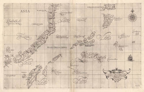
Dell'Arcano del Mare, "Of the Secret of the Sea," was the culmination of that labour. Dudley had drafted the material over many years and it was at last published at Florence in 1646–47, when its author was in his seventies. It was an achievement of the first importance and a series of firsts. It was the first sea-atlas to cover the whole world rather than European waters alone; the first atlas of any kind to construct all its charts uniformly on Mercator's projection, in the form corrected by the English mathematician Edward Wright; the first to record magnetic declination; the first to set down prevailing winds and currents; and the first to expound the advantages of "Great Circle Sailing," the shortest course between two points on the globe. A defining visual consequence of the Mercator projection is that Dudley's charts dispense with the dense web of radiating rhumb lines found on traditional plane charts, retaining only compass roses, since on this projection a line of constant bearing is already straight and the old loxodromic network would be redundant and misleading.
It was also, in a carefully qualified sense, the first sea-atlas compiled by an Englishman. The earlier Mariner's Mirrour (London, 1588) is sometimes given that distinction, but although English in sponsorship and language — commissioned by Sir Christopher Hatton, translated by Anthony Ashley, and published in the Armada year — it was an adaptation of Waghenaer's Spieghel der Zeevaerdt, its plates engraved largely by Netherlandish hands (Theodore de Bry, Jodocus Hondius, and Johannes Rutlinger, with the Englishman Augustine Ryther), and it was confined to the coasts of Europe. Dudley's atlas, by contrast, was original in content and global in scope, the work of an Englishman throughout in its authorship and compilation, though it too, with a certain symmetry, was engraved abroad.
The charts of the Arcano are as celebrated for their artistry as for their science, and were the work of a single hand, that of the Florentine engraver Antonio Francesco Lucini (b. c. 1605–1610), a pupil of Jacques Callot and friend of Stefano della Bella who had already published views of Florence and scenes of the Turkish wars before entering Dudley's service. Lucini's spare and elegant baroque manner, with its flowing italic lettering "alla cancellaresca," sets the work apart from the dense ornament of the contemporary Dutch charts. In an introductory leaf he left a famous account of the labour involved, claiming to have worked on the plates for twelve years in seclusion in an obscure Tuscan village, consuming some five thousand pounds of copper.
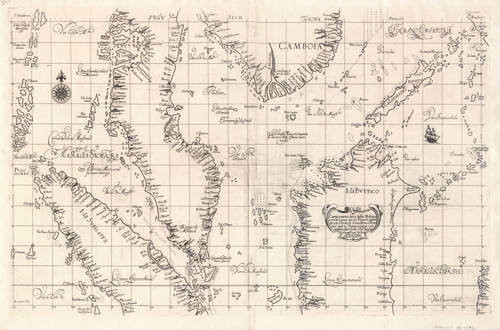
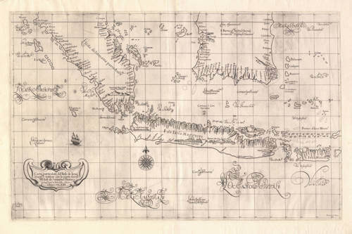
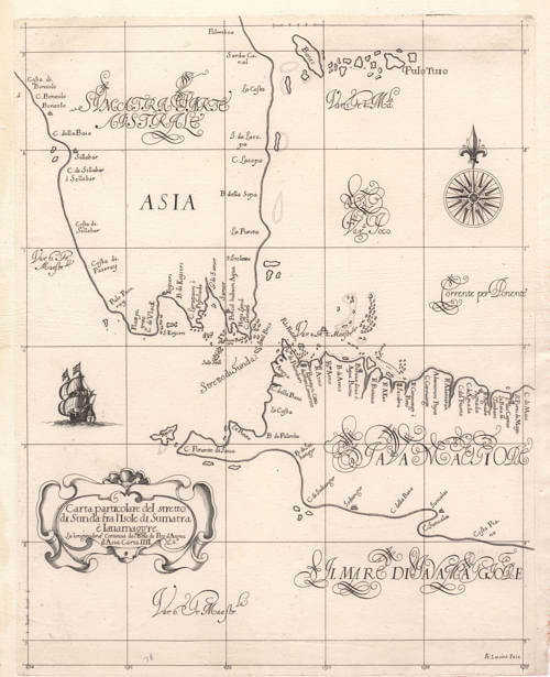
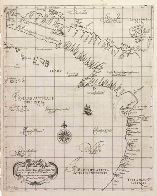
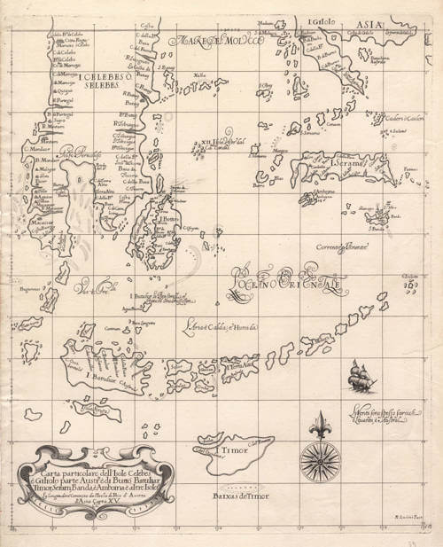
In their cartographic style the charts are equally distinctive, and the distinction is deliberate. Dudley knew the polished Dutch sea-charts of his day intimately and cited them throughout, yet he did not imitate their smooth, "modern," filled-in coastlines. He drew instead in the older idiom of the Mediterranean portolans and the Portuguese roteiros, in which bays, headlands, cliffs, and river-mouths are strongly exaggerated and the coast is rendered as a jagged, deeply indented line. The effect is not a failure of accuracy but a different conception of what a chart is for: by enlarging the coastal features a pilot would look for from seaward, the drawing throws the navigator's landmarks into relief, in the manner of the manuscript sea-charts of the Mediterranean and Iberian traditions rather than the engraved atlases of Amsterdam. Behind the charts, too, lay sources of unusual quality. The atlas's claim to be among the first to record magnetic declination, and the prevailing winds and currents, was no mere editorial flourish: such data could not be had from any printed map, for a compass-variation reading or a current observation existed only where a navigator had measured it at sea. For distant waters Dudley must therefore have drawn on manuscript charts and the first-hand working papers of pilots — in the case of the East Indies, demonstrably on unpublished Dutch material, including a leaked manuscript chart of the 1623 Carstensz voyage to New Guinea and northern Australia, whose detailed coastal toponymy and pilot's annotations he reproduces though they appear on no printed Dutch map. The Arcano is thus a far rarer kind of compilation than its Italian imprint suggests: a work of original science resting on the confidential navigational intelligence of the age. A further trace of the period's unsettled conventions is the prime meridian: like other makers before the general adoption of Greenwich, Dudley reckoned longitude from an Atlantic island, here Pico in the Azores, where earlier traditions had variously used the Canaries or Fortunate Isles, the Peak of Tenerife, or Ferro.
Dudley died near Florence in 1649. The first edition of 1646–47 had appeared in three folio volumes of differing formats, so large that some charts had to be folded several times to fit; this shortcoming was remedied in the second edition, issued at Florence in 1661 by Giuseppe Cocchini, which gathered the work into two volumes of uniform atlas size, Book VI being the sea-atlas proper, with some 130 charts. In this second edition the charts appear in a second state, distinguished by a small engraved signature, "Lº.2º.", added to the title cartouches; first-state impressions, from the 1646–47 edition, lack this addition.
Robert Dudley items for sale
Sir Robert Dudley
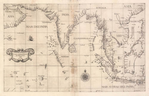
South East Asia
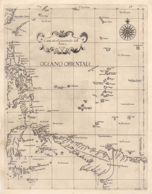
Carta seconda Generale dell'Asia
Florence, 1646
Stock#: 19891