Leen Helmink Antique Maps
Old books, maps and prints by Hartmann Schedel
Hartmann Schedel (1440-1514)
Nuremberg Chronicle 1493
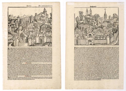
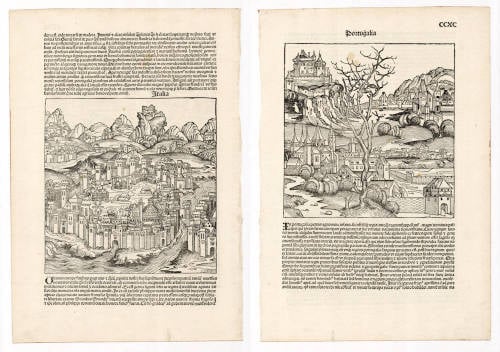
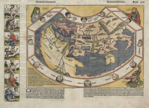
Amongst all the magnificent books printed in the fifteenth century – which are known as incunables – one stands out as being the finest illustrated topographical work of the period: the Liber Chronicarum or Nuremberg Chronicle. Published by Hartmann Schedel and printed by Anton Koberger in July 1493 it contained a total of 1,809 woodcuts which include a Ptolemaic world map, a 'birds-eye' map of Europe and the first known printed view of an English town. These woodcuts were made by Michael Wohlgemut (Wolgemut) (1434-1519), and his son-in-law, Wilhelm Pleydenwurff. Wohlgemut was Dürer's tutor between 1486 and 1490.
Apart from its general interest as a very early descriptive topographical work, the Nuremberg Chronicle is also, by virtue of its date of publication, an historical document of the greatest importance. Issued seven months after Columbus landed in the New World, the Chronicle presents us with a 'lasť view of the known medieval world as seen by the peoples of Western Europe. Within a few years new editions were being issued incorporating news of the successful Atlantic voyages on the American continent; discoveries which proved to be key factors in the complex problems of mapping the modern world as we know it.
(Moreland and Bannister).


