Leen Helmink Antique Maps & Atlases
www.helmink.com
Justus Danckerts
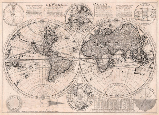
De Werelt Kaart
Certificate of Authentication and Description
This is to certify that the item illustrated and described below is a genuine antique
map, print or book that was first produced and published in 1700, today 325 years ago.
March 31, 2025
Cartographer(s)
Justus Danckerts
First Published
Amsterdam, 1700
This edition
1718
Size
cms
Technique
Copperplate engraving
Stock number
18664
Condition
excellent


Description
Decorative finely engraved map with astronomical and polar insets. First issued around 1700 by Justus Danckerts, here in the ca 1718 second state issued by Wetstein.